Satellites & AI: The Key to Tackling GHG Emissions
- Omer Shenhar
- Aug 27, 2023
- 4 min read
Updated: Aug 29, 2023

Accurately detecting dangerous natural gas emissions from space isn’t a possibility, it’s a reality and not just a reality… It’s the only way forward.
We all understand that if industries, institutions, regulatory bodies and policymakers have precise, near-real-time emissions data that independently verify when, where, how much and at what rate natural gasses (like methane) are being emitted into the atmosphere, we can slow global warming, accelerate our path to net-zero and harness crucial financial and technological opportunities across industries.
It’s that simple: Data is fuel that makes climate action possible.

Credible, verified emissions intelligence on a global scale means that leaks, flares and super-emitter incidents can be detected, monitored and stopped efficiently, accurately and transparently. Which is essential, if we’re going to succeed in cutting GHG emissions by 43% over the next 7 years. Monitoring solutions that deliver the essential data currently include advanced sensors, drones, and remote aerial imaging. While on-site sensors that use bottom-up technologies can sound the alarm when a leak occurs and provide limited emissions estimates, drones and other remote imaging provide a bird's-eye view of remote and offshore facilities, detecting leaks and flares with more precision. These aerial images complement ground-based monitoring efforts, offering a comprehensive understanding of methane emissions from offshore oil and gas installations.
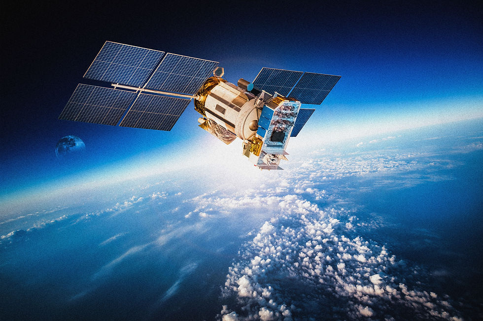
But there are three major issues with these solutions: scale, cost and precision. It’s impossible to scan massive geographic areas with a drone. Aerial imaging from a plane or drone also involves high costs and requires a human operator. Drone and plane imaging also can’t be carried out in challenging weather conditions. A sensor may detect a leak immediately, but it won’t quantify the emissions and provide essential information that will be needed to understand the nature and impact of the leak. The Solution: AI & Multi-Satellite Imaging Harnessing satellite imagery to detect emissions overcomes these challenges and takes emissions detection, monitoring and reporting to the next level.
Over the last decades we’ve seen an explosion of interest, investment and technological advancement in space. The staggering proliferation of satellites in orbit has opened up new avenues for imaging, monitoring and understanding every square meter of planet earth — detecting and measuring GHG emissions is no exception.

Detecting emissions in satellite imagery with technology like Momentick’s provides a scalable, cost-effective and precise view of methane emissions over vast regions and, importantly, over time. When we apply our algorithms to images from a wide range of satellite imagery for any given area of interest, we can successfully pinpoint the precise location of super emitters, flares, and leaks with verifiable measurements and crucial historical data that enables industry operators and regulators to track the emissions accurately over time. These measurements include: flow rate (rate of methane emissions in kg per hour), velocity (wind speed for leaks), and point source (e.g., pipeline leak or flare incident). How does it work?
As sunlight travels through the atmosphere, it is absorbed and re-emitted by any gasses it encounters, with certain gasses emitting energy at specific wavelengths, i.e. its “spectral signature”. In satellite imaging, spectrometers use several wavelengths which are used to quantify CO2 and CH4 according to their absorption spectra.
When our proprietary algorithms are applied to these images with the relevant spectral data, they autonomously identify, quantify and categorize natural gasses like methane.
This solution has key advantages: 1. Our algorithms can be applied to a wide range of imagery covering large geographic areas. Entire regions — including remote and offshore facilities and assets — can be “scanned” for emissions. 2. It enables the identification of emissions over a large diversity of emitting sectors — including the energy sector, waste management, agriculture, etc. 3. Current satellite imagery can be compared to imagery of the same site in the past. This historical data provides important information about when a leak, flare or super-emitting event began, how long it lasted and if it was a one-time event or a routine practice. This is especially key for verifying emissions performance over time. 4. No human guidance is required. Once a site or area of interest is defined, no further human interaction is required to deliver the site’s emissions analytics. 5. Complex weather conditions aren’t a barrier for accurately detecting and quantifying emissions. Advanced Emissions Intelligence

Emissions intelligence from multi-satellite imagery gives diverse sectors, governments and regulatory bodies the ability to know exactly where natural gasses are being emitted and at what rate with a level of accuracy and at a geographic scale that isn’t possible with other monitoring solutions.
Momentick’s data-driven solutions make the unseen by identifying, quantifying and monitoring actual emissions and potential sources of emissions on a global scale. By understanding these patterns, industries and governments can implement targeted emission reduction strategies, further enhancing our global sustainability efforts. It also provides important tools for financial institutions and investors. With accurate emissions intelligence for offshore locations across the globe, sustainable and green decision-making is made easier and more transparent.
This is emissions monitoring on the next level — the only level that will get us to net-zero by mid-century.


